
Victorville ZIP Coverage
The Victorville ZIP code directory starts with city GIS evidence supporting three geographic ZIP polygons for ordinary coverage. The table also keeps a fourth number separate because official Victorville publication addresses show PO-box or organizational use that is not represented in the polygon layer. Postal delivery, municipal territory, and parcel records should stay separate from the start.
| ZIP Code | Areas Covered | Post Office | Notes |
|---|---|---|---|
| 92392 | West and southwest Victorville, including Civic Center examples | Victorville delivery facilities | One of three Victorville geographic polygons in City GIS |
| 92394 | Northwestern SCLA, former George Air Force Base, and Victorville industrial areas | Victorville or SCLA delivery | City Airport, 18374 Phantom, uses 92394 |
| 92395 | Central and eastern Victorville, including Green Tree and Old Town vicinity | Victorville Post Office, 16333 Green Tree Boulevard | One of three Victorville geographic polygons in City GIS |
| 92393 | PO-box or organizational mailing evidence linked with Victorville | Victorville postal facilities | Verify ZIP type and delivery use with USPS |
92392, 92394, and 92395 are the geographic set returned by the official City of Victorville ArcGIS service. The 92394 footprint follows the former base and Southern California Logistics Airport context, while 92395 reaches the Green Tree and Old Town side of the city. A mailing line using 92393 should be read as a clue to postal handling, not as proof of a residential polygon or incorporated territory.
Victorville ZIP Verification
The USPS address tool comes before a Victorville parcel search because it answers the delivery question. Enter the complete street line, city, and state, then save the returned ZIP and any ZIP+4. A shortened street name can produce a false match, and a PO box should be tested as its own mailing address. USPS validates the Victorville postal destination. It does not decide whether a parcel is inside Victorville or whether a named person occupies it.
The Victorville Post Office is listed at 16333 Green Tree Boulevard, Victorville, California 92395-9998. Research notes show retail hours of Monday through Friday from 8:30 to 5 and Saturday from 10 to 3, with phone number (760) 241-4433. Confirm current hours before visiting. The address-to-ZIP result is the cleanest way to keep a postal lookup from drifting into an unsupported city or household claim.
| USPS input | What to record |
|---|---|
| Victorville street address | Full physical delivery line, including direction and suffix |
| City and state | The mailing city returned or accepted by USPS |
| Victorville ZIP and ZIP+4 | Five-digit delivery area plus the more precise delivery segment when returned |
| PO box line | Separate postal evidence that should not be treated as a parcel situs |
For the first verification step, use the official USPS ZIP Code Lookup rather than a statistical ZIP map.
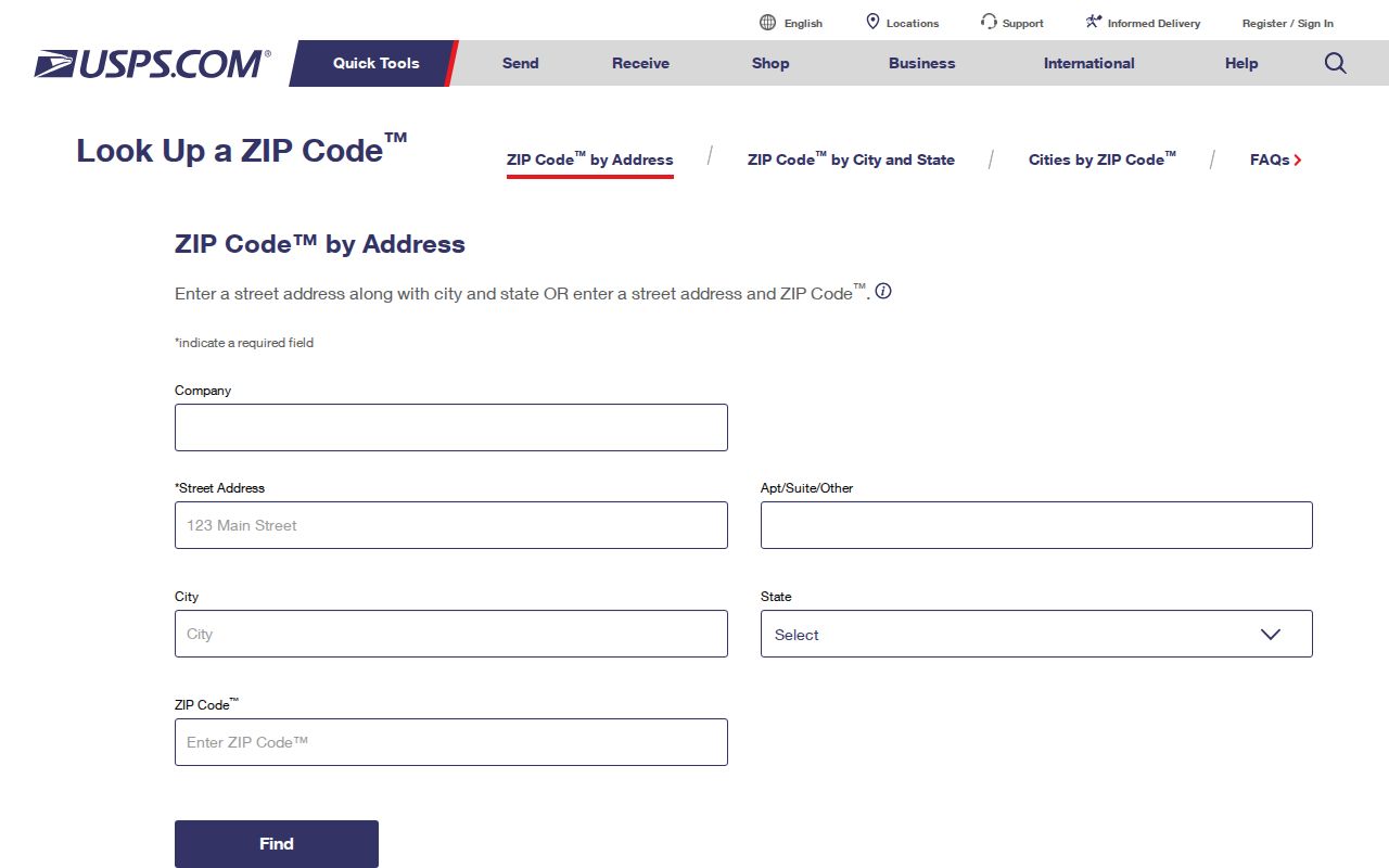
The USPS screen supplies the mailing key that the later GIS and parcel checks can test. It cannot replace either of those checks.
Victorville REST ZIP Layer
A REST layer is a web service that lets a map or a researcher query geographic features. Victorville's official ZIP polygon service uses ZIPCODE as its display field. Its documented controls support ordinary queries, advanced queries, statistics, distinct values, ordering, pagination, and distance queries. The service has a 10,000-record maximum, so a broad Victorville request still needs a sensible filter and a saved result date.
The Victorville service returned exactly 92392, 92394, and 92395 as geographic polygons. That makes it useful for checking whether an address point sits in one of the mapped areas, but it does not turn a polygon into a resident roster. A feature can describe the geography around a Victorville address without revealing a protected owner, a household member, or a person receiving mail there.
The source screen for the geographic check is the official Victorville ArcGIS ZIP polygon layer.
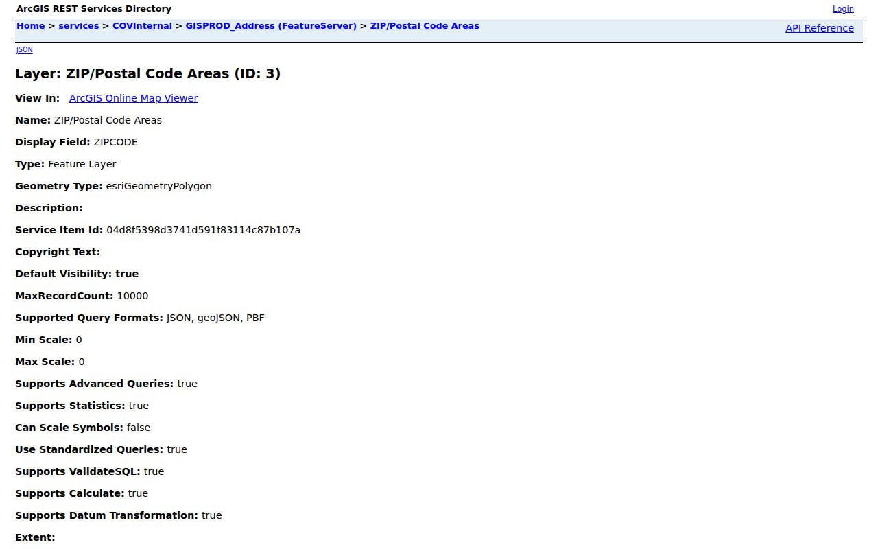
The Victorville REST layer is strongest as a boundary and attribute check. Pair its result with the USPS address response and the parcel's physical location before assigning a ZIP to a record.
92393 in Victorville Mail
92393 needs a narrower description than the three mapped ZIP areas. The research found it in official Victorville publication addresses associated with PO-box or organizational mail, but it did not locate an authoritative dated station table that establishes the exact ZIP type for every Victorville use. The City polygon service does not include 92393 among its three geographic features.
That distinction matters when a historical letter, city notice, or family paper carries 92393. Test the exact mailing line with USPS. Then ask whether the record concerns a PO box, a business or organization, or a physical parcel. Do not convert the number into a claim that a particular residence falls inside a fourth residential polygon. The cautious answer is that 92393 has documented Victorville mailing evidence, while its geographic role remains a verification item.
Search Victorville by ZIP Code
A Victorville ZIP code is a useful filter only when the source actually stores it. San Bernardino County's current govPIMS public workflow confirms a full situs-address search and an APN search, not a ZIP-wide owner browse. California's voter-status form is a personal authenticated lookup, not a Victorville street or ZIP directory. City permit files may contain a ZIP column, but the schema must be checked in each posted file before using it.
- Verify the exact Victorville delivery address with USPS and save the returned ZIP.
- Compare the address with the Victorville boundary and sphere-of-influence GIS layers.
- Search the full Victorville situs address in govPIMS, then retain the APN and legal description.
- Use the city ZIP layer or a permit file only when its field names support the filter.
- For voter data, use the personal status form or submit a qualifying restricted file request rather than browsing a block.
Once a ZIP has been narrowed to known addresses, the Victorville street records workflow is the better way to inspect parcels one at a time. A ZIP-wide result should never be described as a complete list of people.
The San Bernardino County Elections office is the correct local channel for registration services and qualifying voter-file questions. Its public entry point shows why election records belong to a restricted access path rather than a ZIP-wide resident list.
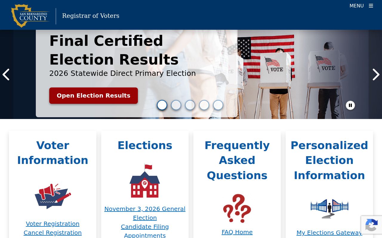
The elections image belongs beside the ZIP workflow as a boundary reminder: postal geography can narrow a search, but it does not open a voter roster.
Victorville ZIP Address Terms
Several address fields can sit beside one another in a Victorville ZIP record. Keeping their meanings straight prevents a correct number from answering the wrong question. APN and legal description are usually more durable for Victorville land history, while the postal fields are built for delivery.
- ZIP code
- A USPS delivery area used to route mail. It is not a city boundary and does not name every household inside it.
- ZIP+4
- The five-digit ZIP plus four digits that can narrow delivery to a segment, box group, or other postal unit.
- PO-box ZIP
- A postal code used for box or organizational mail. It may not describe a geographic residential area.
- Carrier route
- A delivery path used by the Postal Service. It is an operational route, not an owner or resident category.
- Situs address
- The physical location of the assessed parcel, where the land or structure is situated.
- Mailing address
- The line used for tax or other correspondence. It can differ from the situs and does not prove occupancy.
- Legal description
- The formal land description in a deed or parcel record. It can preserve identity when a street name or number changes.
Victorville Postal ZIP Geography
Victorville, its postal city, its incorporated boundary, and its sphere of influence are related but different geographies. City GIS products expose boundary, sphere, parcel, lot, address-point, building, facility, and transportation context. County ARC describes Victorville land through an APN and legal description. A record can therefore carry a Victorville mailing city while the parcel sits outside the incorporated line, or show a city parcel with a mailing line that points elsewhere.
Neighborhood terms add more noise. Old Town, downtown Victorville, Green Tree, Eagle Ranch, Brentwood, West City, and the former George Air Force Base or Southern California Logistics Airport area can help a researcher choose a map view, but labels such as Spring Valley Lake may refer to a nearby county or community context. Treat the labels as search variants until GIS confirms the jurisdiction. ZIP geography is a first sort, not a legal conclusion.
Victorville ZIP Search Limits
The San Bernardino County Assessor-Recorder-County Clerk combines several offices, but each Victorville record has a different purpose. The assessor supports taxation and publishes parcel, situs, characteristic, map, and roll information. The current public govPIMS guide documents APN and full-address controls, a map, report choices, an Entire Package report, and a polygon measurement tool. It does not document a ZIP-wide public owner list. Assessor roll recap data reaches 1978-present, yet that coverage is not a household history.
For a Victorville entry point at the county level, use the San Bernardino County ARC home to reach the property, recorder, and clerk services.
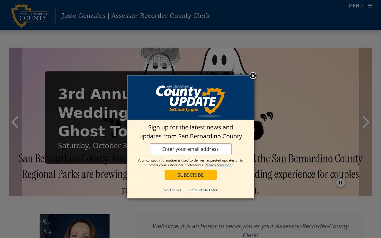
The ARC materials also warn that assessment data supports taxation and is not a legal-ownership determination. Public owner names and addresses can be withheld under Government Code section 7928.205. A ZIP filter that returns a parcel therefore remains a property clue, not a complete resident result.
Victorville ZIP Name Clues
Some state records can add a narrow Victorville name or city clue without becoming a ZIP directory. The State Controller's unclaimed-property search accepts an owner surname or business name, a given name, and a city. A result can point toward an association with Victorville or a reporting holder, but a claim requires identity proof and the result does not establish a parcel, delivery route, or present residence.
Use the official California unclaimed-property search for the free search and claim process. Do not pay a finder for a lookup that the state provides directly.
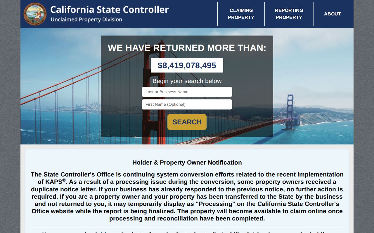
This Victorville name clue is best kept separate from ZIP geography. It can support a careful identity check, but it cannot fill the gaps left by protected records or an unverified mailing address.
Victorville ZIP Research Gaps
The documented Victorville ZIP code directory picture has useful boundaries and clear limits. No authoritative dated residential ZIP split, additional unique ZIP, or complete USPS station and ZIP-type table was located. The Victorville research also did not verify a citywide ZIP realignment or the schema of every current permit CSV. Those are practical gaps to resolve with the responsible custodian, not reasons to invent a fourth polygon or a population count.
For a disputed address, save the USPS response, note the date, inspect the City boundary and ZIP layers, and retain the APN, situs, mailing line, and legal description separately. If the public portal stops at a protected field or an unverified year, ask the office about its access channel. The California Public Records Act can support a focused request for an existing nonexempt record, but it does not require an agency to create a ZIP-wide resident list.
Practical sequence. USPS establishes Victorville delivery, GIS tests geography, govPIMS identifies the parcel, and the correct custodian supplies any record beyond those keys.